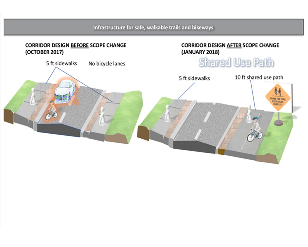
THE CASCADE ROAD TRAIL
In 2017, FCSNP (Friends of Cascade Springs Nature Preserve) worked with City of Atlanta leaders to change the scope of an infrastructure project planned for Cascade Road. The revised scope is part of a Green Transportation initiative that includes dedicated bicycle and pedestrian access to the Cascade Springs Nature Preserve. The new multi-modal design is a 12-foot wide shared-use path for bicycles and pedestrians from City Limits to Willis Mill Rd. The length of the project is approximately 2.0 miles. Read more about the project status here: Capital Delivery Projects (atlantaga.gov) (the link might not be working when the City is updating their site.